Day Hiking in Jasper National Park
Hiking for everyone in Jasper National Park
At over 11 000 square kilometres, Jasper National Park is the largest of the UNESCO recognized Canadian Rocky Mountain Parks. Unlike Banff, the town of Jasper remains a peaceful, unpretentious, and quiet tourist town with abundant wildlife. Elk can be spotted around the townsite almost any day of the year, bighorn sheep and mountain goats seek the mineral-rich road cuts and bears roam the roads in a desperate search of food. In a world where everything moves fast and attention is short, Jasper seems to live by its own clock.
With great accommodation options and a diverse food scene, Jasper is the perfect base for your day hiking adventures in the Canadian Rockies. Visit Tourism Jasper website to help plan your Jasper adventures. We’ve broken down your hiking options by areas of interest and included distance and elevation to help you make informed decisions when planning your hiking trips in Jasper National Park.
The Bench
If you like the idea of stepping out of your hotel room in your runners and hitting up some of the most accessible trails around Jasper, the Bench delivers a variety of hiking options a few hundred metres from the downtown core. These trails are also great for runners. Here’s a short list of some of our favourite day hikes on the Bench.
Pyramid overlook
(trail #2b)
Distance = 4 km return
Change of elevation = 180m
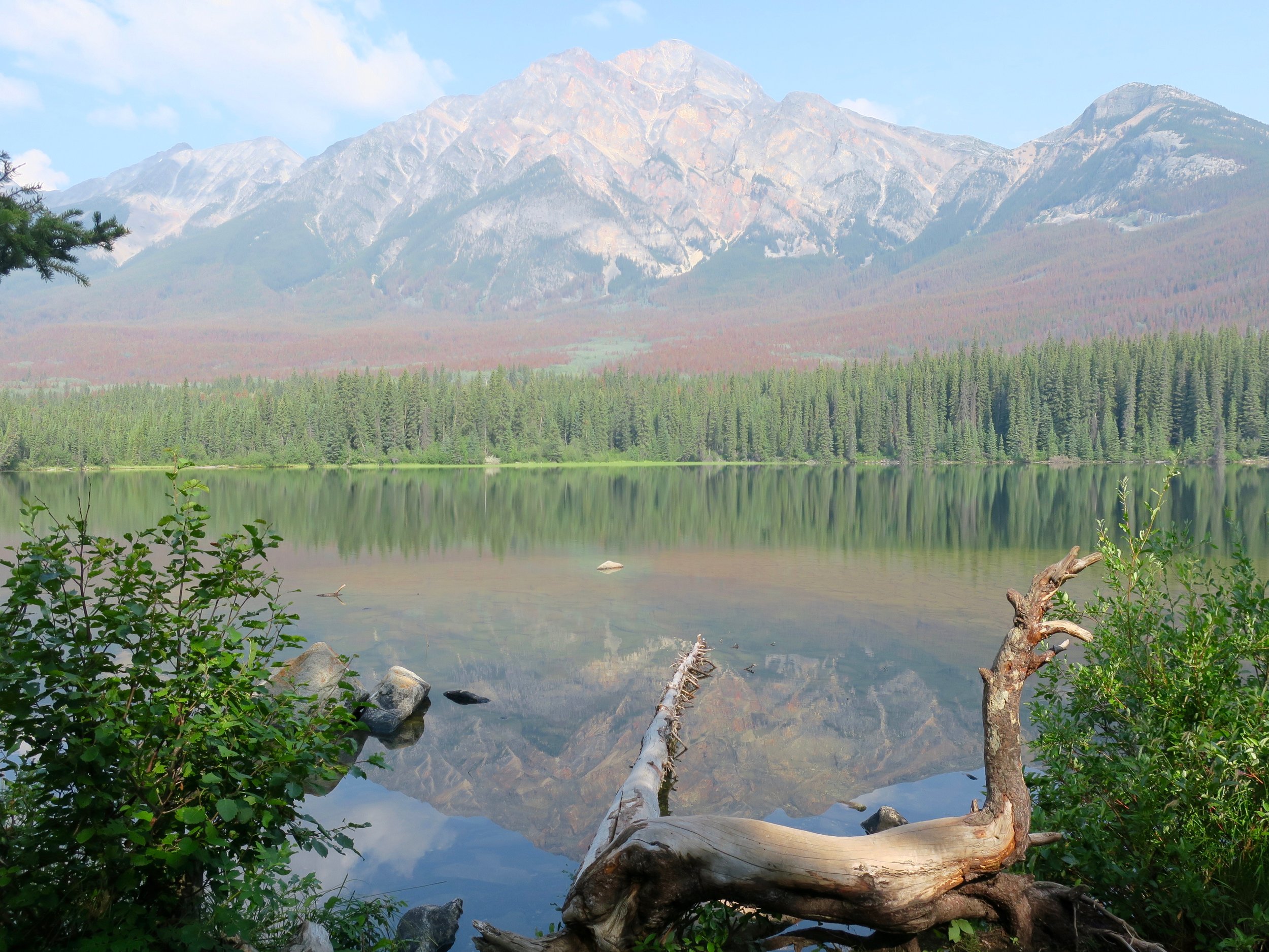
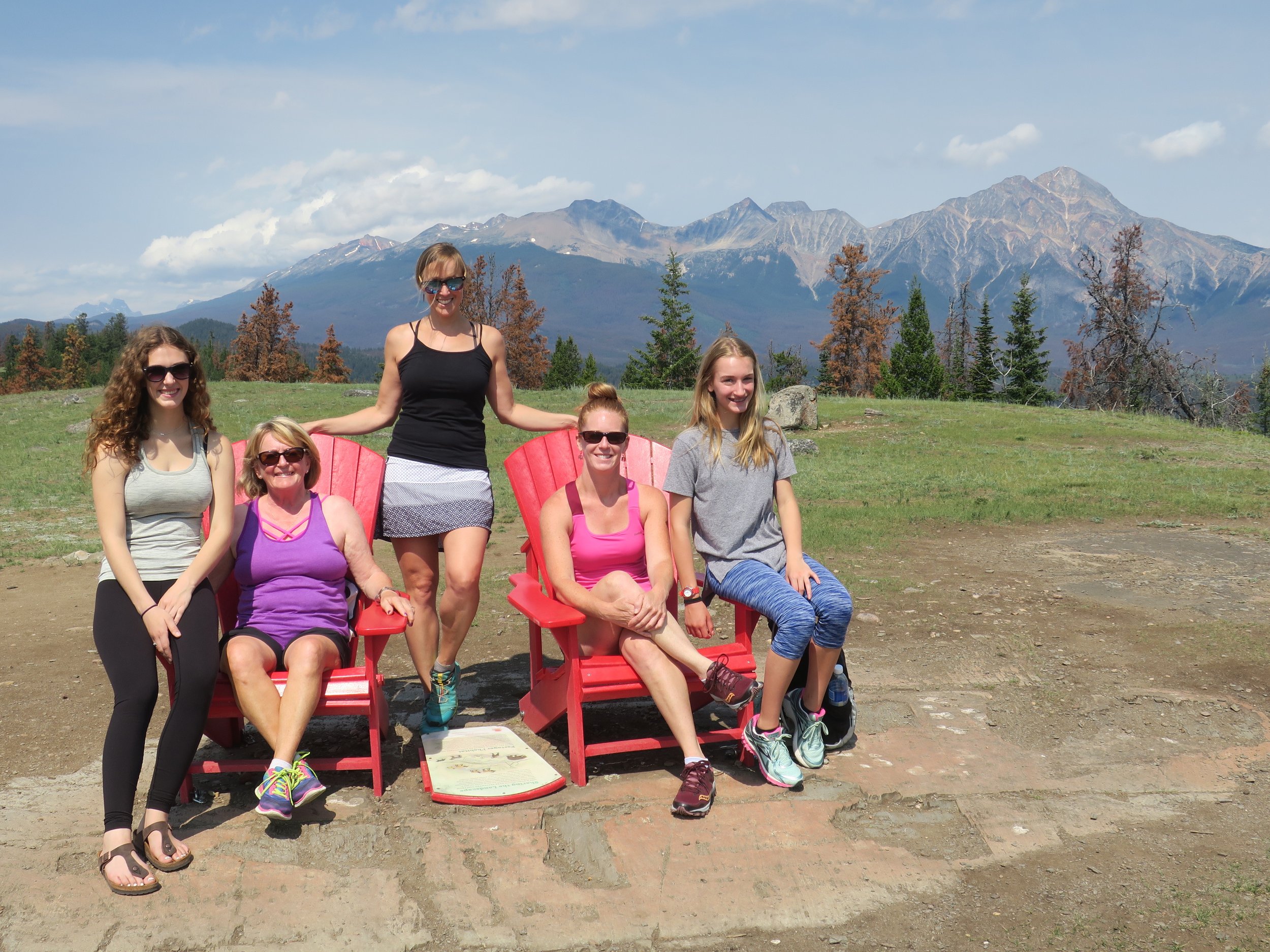
Hike up the Pyramid trail (5km) or drive to the end of the Pyramid road and take trail #2b pass the red chair to a semi-open ridge with views down to Pyramid lake, Patricia lake, lake Beauvert, lake Annette, lake Edith, Whistlers mountain, Marmot Mountain, Mount Edith Cavell, Mount Fryatt, Signal mountain, Tekarra mountain, Pyramid mountain and the three valleys merging in the town of Jasper.
Grand tour of the Bench
(trail #11, 8, 6, 2b, 2)
Distance = 22 km return
Change of elevation = 400m
Start up just behind the Catholic Church and head up West on the Discovery Trail #11 to the intersection with trail #8, pass Mina-Ryley lakes, around Patricia Lake, across the road to connect with trail #2b then all the way back to town on trail #2. This is a quiet all weather option under the shade with lots of lakes that can also be completed in smaller segments.
Saturday Night Lake loop
(trail #3)
Distance = 24 km return
Change of elevation = 540m
Start on trail #3 off Bonhomme street, pass Marjorie lake, Caledonia lake, Minnow lake, High lake, Saturday Night lake, and Cabin lake. Another quiet all weather option also great for runners and mountain bikers.
Across the Athabasca River
A number of trails start across the World Heritage Athabasca River at Old Fort Point or just past the Moberly Bridge on the Maligne Lake road.
Old Fort Point loop
(trail #1)
Distance = 4 km return
Change of elevation = 130m
Drive or hike to Old Fort Point. Head up the staircase to the high point of the hill. If continuing along on the circuit, turn to check out the red chairs on a nice open plateau and continue on the loop back to your car by the mighty Athabasca River.
Lakes Crawl
(trail #11, 14, 7, 4, 4f, 13)
Distance = 18 km return
Change of elevation = 50m
From the Discovery trail, go to the only street light in Jasper and head across the railway tracks (use pedestrian underpass if train is running), cross highway 16 and take trail #14 (Red Squirrel), trail #7 along Lake Beauvert (stay on the Jasper Park Lodge road if the trail is closed during elk calving season), trail 4 to Lake Annette and Lake Edith, then trail 4f/13 (Bighorn Alley) across the Athabasca River back to Jasper. This is a great hiking circuit with minimum elevation change and lots of opportunities to go for a swim in frigid emerald water. Also great as a friends/family bike/swim circuit!
Overlander Trail
(trail #10)
Distance = 15 km one-way
Change of elevation = 100m
A historic trail used by first nations, explorers, overlanders travelling to the Cariboo gold fields and modern-day recreationalists. The overlander is an out-and-back trail starting at the sixth bridge along the Maligne Lake road and ending at 12-mile bridge at a bluff along the shoreline of the Athabasca river. Great for hiking and mountain biking.
Maligne Lake Road
For those wanting more than the boat ride to Spirit Island, two obvious hiking options exist in the Maligne Lake area, one on each side of the Maligne river. Both offer spectacular views of Maligne Lake and the surrounding mountains.
Maligne Canyon Loop
(trail #7g, 7f, 7)
Distance = 4,5 km return
Change of elevation = 100m
Start from the fifth bridge parking lot, head up trail 7g, turn left away from the Maligne river on a steep section up 7f to the top of the canyon, cross the parking lot to the teahouse building and work your way down passing the first, second, third and fourth bridge on your way back to your car. Most of the water you see flowing through the canyon travels underground through a limestone karst system between Medicine lake (an overflow of the Maligne River) and Maligne Canyon. Good in all weather conditions! Popular year around due to the frozen waterfalls spilling into the frozen river bed of the canyon in winter.
Bald Hills
(trail #23)
Distance = 10 km return
Change of elevation = 500m
Start up the fire road to the summer trail shortcut and head up above the treeline to the hitching rail, the first summit and the second summit.
Opal Hills Loop
(trail #23)
Distance = 8,5 km return
Change of elevation = 500m
Park at the first parking lot and find the trail kiosk. Head up steeply through thick forest to above the treeline, make sure you crest the ridge to gain expansive views of Maligne lake. If you have plenty of energy left, consider continuing gaining elevation for even more spectacular vistas. Complete the loop to flowery meadows back to the trailhead. Quieter and more rugged than Bald Hills.
East of Jasper
Miette Hotsprings / Sulphur Skyline
(trail #30)
Distance = 8 km return
Change of elevation = 700m
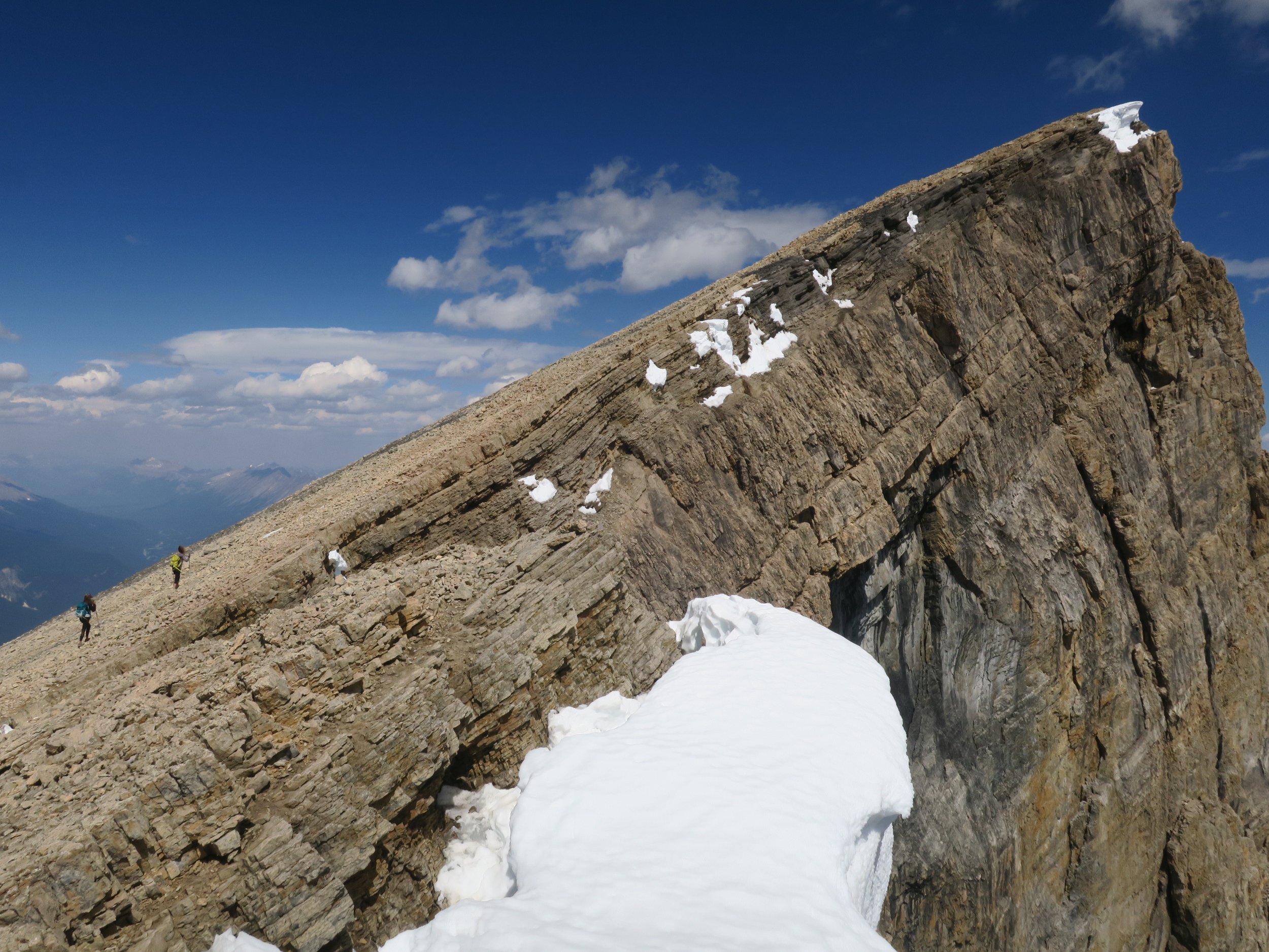
Looking for an easy-ish first summit, drive 60km east of Jasper towards Edmonton and turn on the Miette Hot Springs road. Head up towards the HotSprings building and start up the paved road for the first km. Follow the main trail to the summit and soak in the 360 degree views. Ashlar ridge is the impressive rock ridge jutting from the valley floor looking back towards the Hotsprings. This trail is extremely busy and we recommend going early in the morning or evening for the best experience. The Hot Springs are opened late during July and August so you can also soak up the body before the drive back to Jasper. Folding Mountain Brewery is also a short 15 minutes drive further East just past the East Gate of Jasper National Park.
Icefield Parkway
The Icefield parkway is one of the most scenic drive in the world for good reasons. Of course, it also makes for an incredible base from where to start your hiking adventures. Trails start at a higher elevation making for more time spent in the alpine with mountains and glaciers all around.
Whistlers Summit
(trail #5a from the top of the Jasper Skytram)
Distance = 4 km return
Change of elevation = 200m
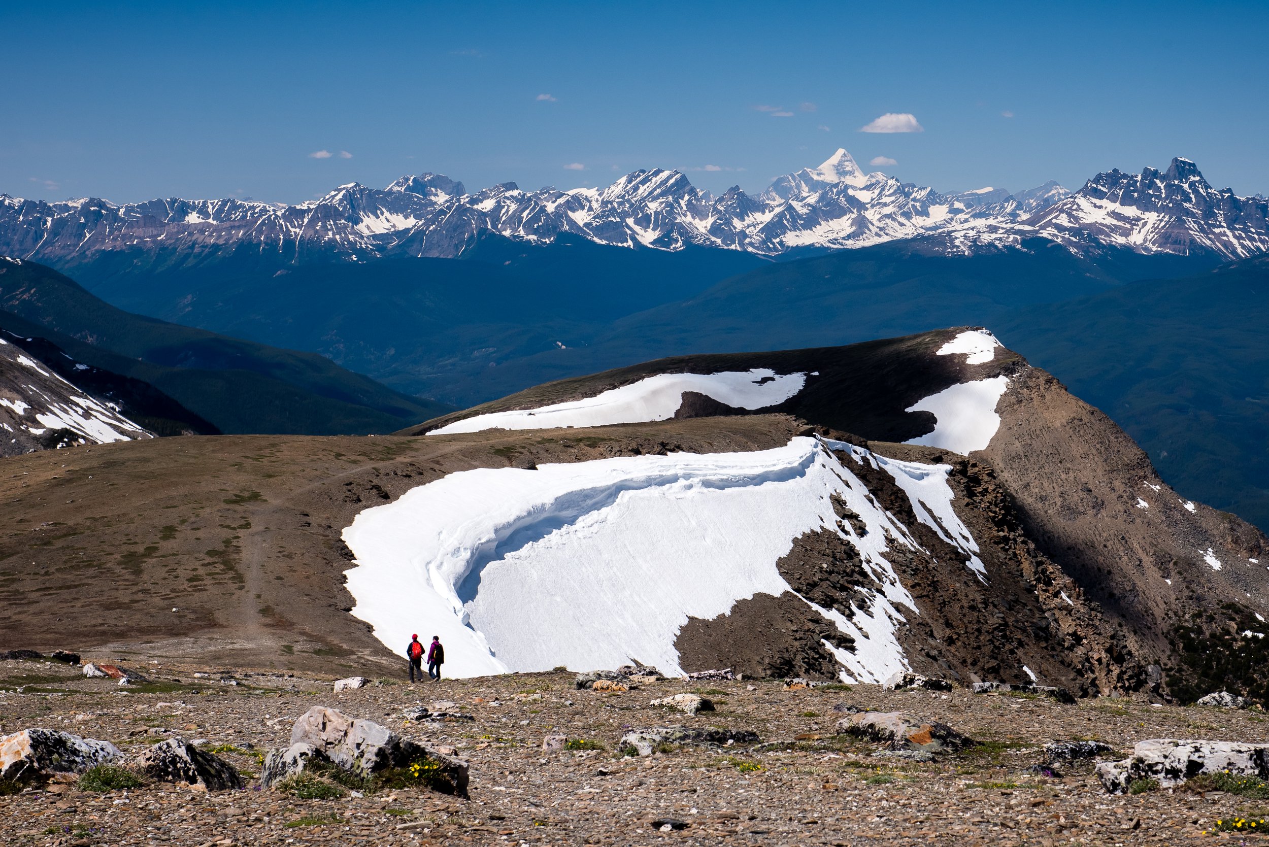
Hop aboard the Jasper Skytram and gain 1200m of elevation in less than 8 minutes to start your hike well above treeline with spectacular views of the three-valley confluence and distant Mount Robson (highest peak in the Canadian Rockies). Hike to the last viewpoint and enjoy the view. Dress for mountain weather year around!
Valley of the five lakes Loop
(trail # 9, 9a, 9b)
Distance = 4,5 km return
Change of elevation = 65m
An easy and busy Jasper day hike classic. Hike past a string of emerald and turquoise colour lakes. Good in all weather!
Edith Cavell Meadows
(trail #42)
Distance = 7 km return
Change of elevation = 500m
A remarkable mountain, Mount Edith Cavell was originally known as la montagne de la grande traverse because it was a key landmark for fur traders en route to Athabasca pass and the West side on the continental divide of the Canadian Rocky Mountains. Head up the paved hiking path to a viewpoint of Angel glacier suspended above Cavell pond. Head up over moraines and steeply up switchbacks to a couple of viewpoints along the way. Busy for good reasons!
Wilcox pass
(trail #50)
Distance = 10 km return
Change of elevation = 400m
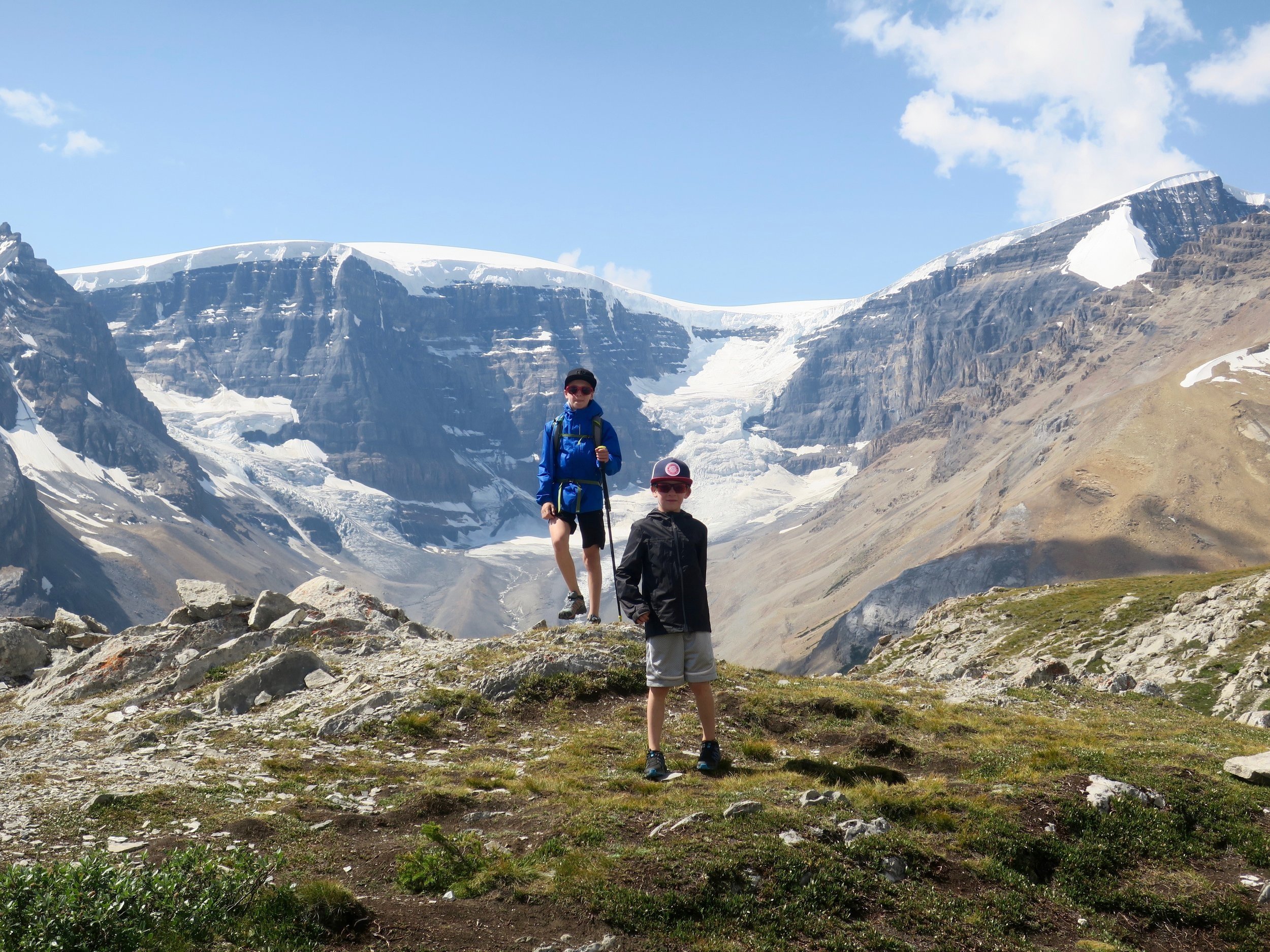
Park at Wilcox Creek campground, and follow the trail above treeline to the red chairs at the first viewpoint, continue to the main viewpoint overlooking Athabasca glacier and the Columbia Icefield. Not to be missed!
Parker Ridge
(trail #51)
Distance = 5 km return
Change of elevation = 300m
From Parkers’ Ridge parking lot (6km south of Wilcox creek), hike up a steep trail with switchbacks. You can continue going up to a rock cairn but the views are better if you keep walking south across the plateau where you’ll eventually be treated to the incredible sight of the sinuous Saskatchewan glacier. A sight to remember!
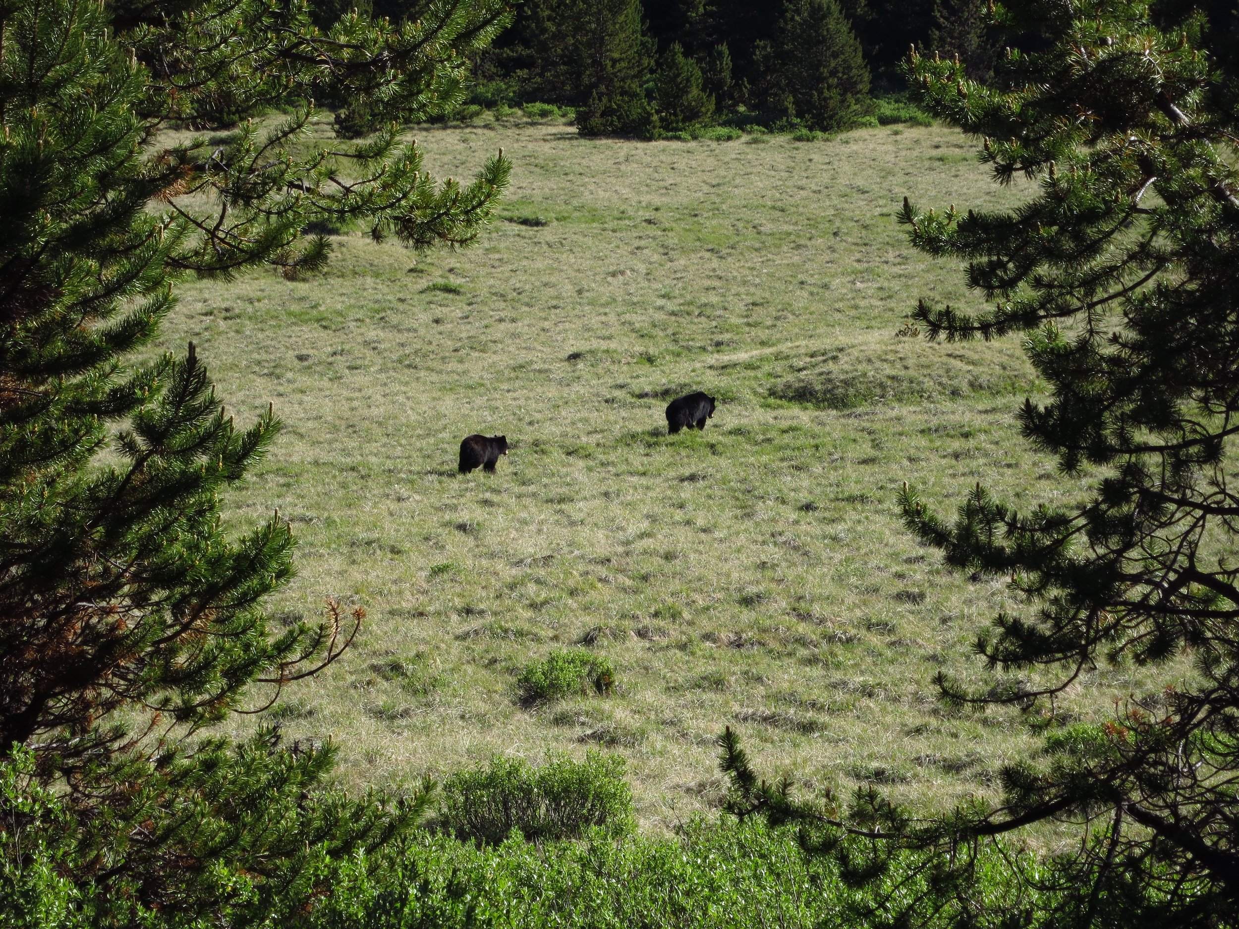
Jasper is home to healthy populations of black bears and grizzly bears. These beautiful wild animals are busy feeding themselves and raising cubs throughout late Spring, Summer and early Fall in anticipation of 6 months of hibernation. Smart travel habits go a long way to keeping both you and the bears safe. Male bears can be most territorial in the Spring during mating season and female bears with cubs are always protective. Be aware of your surroundings, make noise and travel in groups of 4 or more whenever possible, especially in less trafficked areas. Never feed wildlife: a fed bear will most likely become a dead bear. Bears quickly become habituated to human food which leads to human-wildlife conflicts that usually end up in conservation officers having to put down (kill) problematic bears. Never leave food unattended while hiking or camping in Jasper National Park.
Living with wildlife in Jasper National Park
Although elk may seem tame and inoffensive in Jasper, they can be very dangerous in certain situations. During calving season from mid-May to early July, female elk can be very protective of their newborn calves. During mating (rutting) season from late August to early October, dominant male elk herd females and are very territorial. Close calls happen every year, visitors are encouraged to leave wildlife alone and always maintain appropriate distances with wild animals (100m for bears, 30m for elk).
Visit Jasper National Park’s website page on wildlife watching for more information and to download the brochure.
More hiking options in Jasper National Park
These are just a few of the classic day hiking trips in Jasper National Park, you can also visit our blog focused on backcountry hiking trips in Jasper National Park. Here’s a list of resources to help you plan your next hiking adventures in Jasper National Park:
Day hiking in Jasper National Park including the official JNP day hiking guide
Gaia GPS (Navigation app with visible public tracks, requires membership to download maps for offline use, )
FatMap (Navigation app with amazing satellite imagery and visible public tracks for specific activities, requires membership to download maps for offline use)
High Sights Guiding (Guided day hiking and multi-day hiking trips in Jasper National Park)

